

 ع
ع


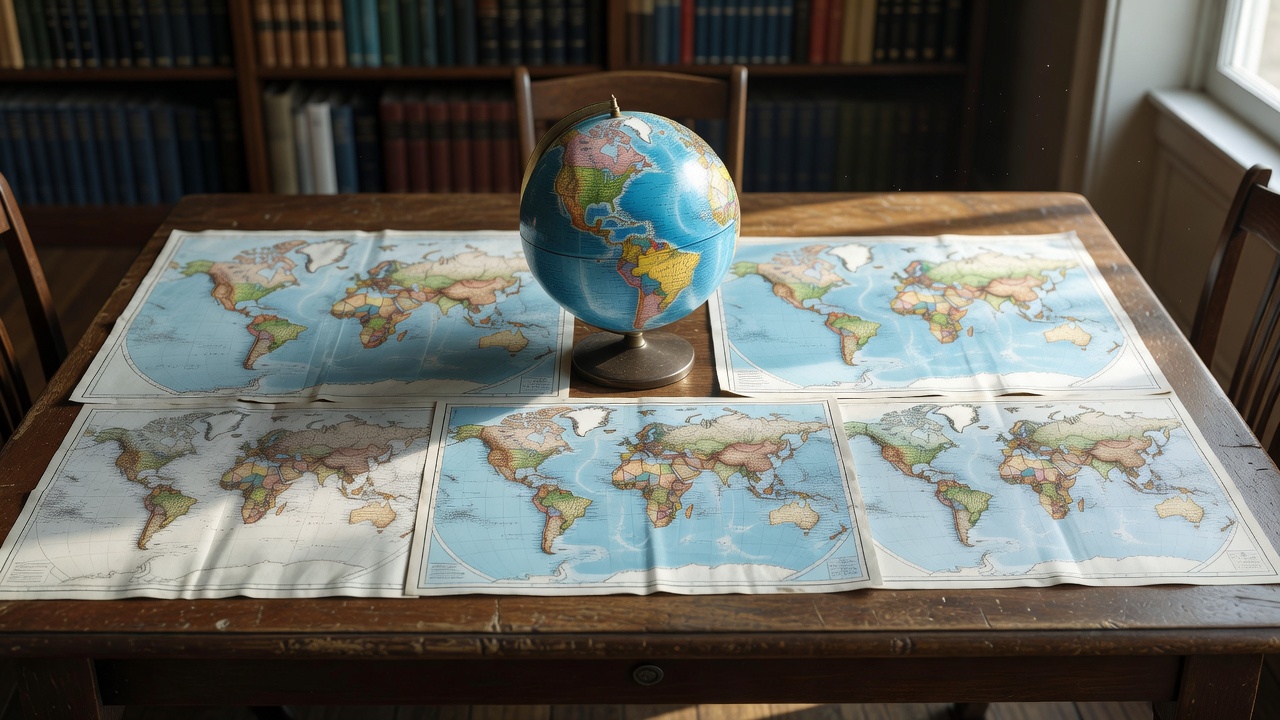
No flat map can perfectly represent the spherical Earth without distorting at least one geometric property, a fundamental limitation mathematicians have established through topological principles according to a John D. Cook mathematical analysis. The Mercator projection created by Gerardus Mercator in 1569 maintains accurate angles and constant compass bearings, which made it invaluable for maritime navigation during the age of exploration, multiple geography resources including Geosciences LibreTexts confirm. Yet the same projection dramatically enlarges areas near the poles, causing Greenland to appear roughly the same size as Africa even though the continent is nearly 14 times larger, a discrepancy highlighted in both Al Jazeera reporting and World Maps Online explanations.
Equal-area alternatives such as the Gall-Peters projection, originally described by James Gall in 1855 and later promoted by Arno Peters, correctly display relative landmass sizes across the globe according to Wikipedia compilations of cartographic history. This approach reduces the Eurocentric bias inherent in Mercator maps by showing Africa, South America and other equatorial regions at their true proportions relative to Europe and North America, a point emphasized in campaigns led by activists like Temitayo Ogundairo that Al Jazeera documented in 2025. Shape distortion remains a significant drawback, however, as the projection stretches landmasses vertically near the equator and compresses them horizontally at higher latitudes, resulting in elongated appearances for many countries.
A more recent innovation, the AuthaGraph projection developed by Japanese architect Hajime Narukawa in 1999, divides the globe into 96 triangular sections before unfolding them to minimize overall distortion in area, shape and distance, according to comparisons published by EarthChasers and Geoawesome. The design allows the flat map to be folded back into a three-dimensional globe without gaps, an advantage that earned it recognition in Japanese design awards and positioned it as one of the most balanced representations available. Educational initiatives have taken note, with Nebraska lawmakers passing legislation in 2024 that mandates public schools to display Gall-Peters, similar equal-area maps or the AuthaGraph projection starting in the 2024-2025 academic year, Nebraska Governor Jim Pillen announced at the time.
Compromise projections such as the Robinson and Winkel Tripel have been adopted by institutions like National Geographic for general reference maps because they distribute distortion more evenly rather than preserving any single property perfectly, a strategy detailed in World Maps Online technical breakdowns. These maps avoid the extreme polar exaggerations of Mercator while mitigating the severe shape shearing seen in Gall-Peters, producing visually familiar yet more proportionate depictions of continents. A 2020 study involving more than 130,000 participants worldwide, published in the ISPRS International Journal of Geo-Information, found that while map projections do influence people’s mental images of global geography, cognitive maps often align more closely with actual globe proportions than with any particular flat projection.
Political and social implications of these choices have fueled ongoing debates, as Mercator’s enlargement of northern landmasses has been criticized for reinforcing perceptions of Global North importance over the Global South, according to geography professor Lindsay Frederick Braun of the University of Oregon cited in Al Jazeera coverage. Advocates for equal-area maps argue that accurate size representation supports fairer understandings of global issues ranging from resource distribution to climate impact, a perspective that gained traction with organizations including the former National Council of Churches in the United States. Despite such criticisms, web mapping services continue to rely on variants of the Mercator projection because its angle-preserving properties suit interactive navigation and tiling systems used by platforms like Google Maps.
Recent efforts to update classroom materials reflect broader recognition that map selection shapes worldview, with Boston public schools among those switching to Gall-Peters in 2016 as part of efforts to counter historical biases, Al Jazeera reporting noted. Cartographers emphasize that the optimal projection depends entirely on purpose, whether for navigation, thematic data visualization or equitable geographic education, a conclusion reinforced across sources including the Peters Projection Map website and academic reviews in Cartography and Geographic Information Science. No single map eliminates all compromises, leaving users to weigh which truths matter most for their specific needs.