

 ع
ع


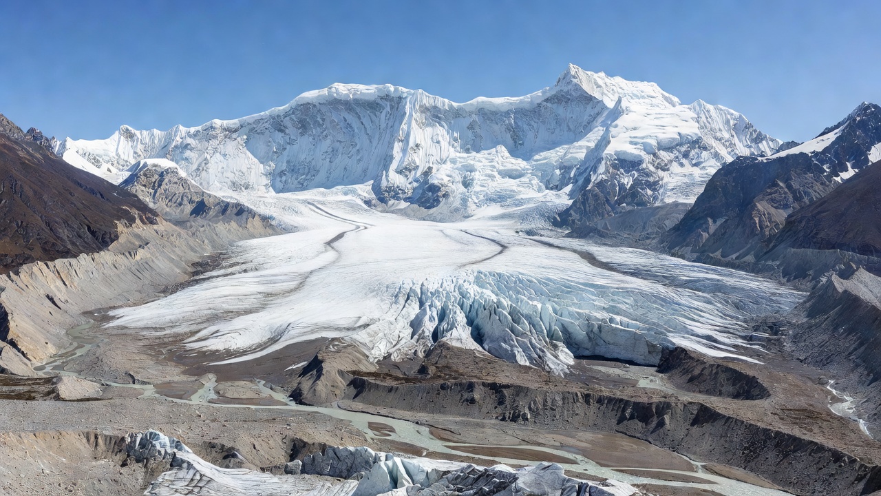
The United States Geological Survey has attributed seismic signals recorded on Wednesday to a glacial collapse rather than an earthquake after initial reports suggested a magnitude 4.4 tremor had set off the disaster along the Nepal-Tibet border. Satellite imagery reviewed by geologists showed a substantial section of glacier detaching at an elevation of about 5,200 metres and falling roughly 1,200 metres onto the valley floor where it gathered rock and sediment before striking the Lhende River. According to a Reuters assessment the resulting avalanche temporarily dammed the waterway before the barrier gave way releasing a surge of mud rock and water that swept downstream into both Chinese territory and Nepal. Nepal’s National Disaster Risk Reduction and Management Authority described the trigger as an ice-rock avalanche originating on the Nepali side that produced a debris-laden flood in the river system.
The floods devastated infrastructure across multiple districts with Nepal authorities reporting at least 165 bodies recovered so far while the toll is expected to climb significantly as search operations continue. Nearly 1,500 people including at least 800 foreigners remain missing according to figures compiled by officials in Nepal and Tibet. In an update carried by Al Jazeera the combined death toll across the border region stood at 270 with water levels in the Trishuli River rising by as much as nine metres within 30 minutes in some locations. The deluge destroyed more than 19 bridges and washed away approximately 40 kilometres of roads while damaging hydropower facilities and cutting electricity to several communities.
Scientists have linked the event to broader changes in the Himalayan cryosphere where thousands of glaciers are retreating amid rising temperatures. Daniel Shugar an associate professor of geomorphology at the University of Calgary told multiple outlets after examining Planet Labs imagery that a large amount of snow appeared to have melted in the 24 hours preceding the collapse potentially lubricating the glacier’s base and contributing to the failure. The International Centre for Integrated Mountain Development noted in its preliminary review that the Lhende Khola had flooded twice in the past 14 months underlining the heightened frequency of such cascading hazards in a warming region. CNN reporting on the vulnerability of the area highlighted how melting glaciers create unstable lakes and destabilise rocky slopes increasing the likelihood of landslides and outburst events.
Early confusion over the role of seismic activity was resolved when the US Geological Survey clarified that the recorded magnitude 5.2 signal originated from the massive ice and rock movement itself rather than a tectonic earthquake. Nepal’s Foreign Minister had initially informed parliament that preliminary information pointed to a tremor at 8:37 a.m. local time but later updates aligned with the USGS interpretation that no separate earthquake had occurred. Reuters detailed how the avalanche transitioned into a high-speed flow of debris that slammed into ports and villages on both sides of the border. Indian Express explained that earthquakes or even the weight of accumulated material can disturb fragile high-altitude ice and rock formations setting such chains of events in motion.
The disaster has prompted renewed calls for improved cross-border monitoring and early warning systems in the Hindu Kush Himalaya region which spans several countries and contains some of the world’s most rapidly changing glacial environments. ICIMOD specialists emphasised in statements to India Today that these cryospheric events can transform into floods within hours requiring faster information sharing between Nepali and Chinese authorities. Bloomberg noted that while extreme rainfall is a common trigger for flash floods in Nepal this event occurred without significant precipitation in the immediate area pointing instead to high-altitude glacial instability. Experts including those cited by The Guardian stressed that weeks or months of further analysis will be needed to establish whether additional factors such as permafrost thaw played a role.
Authorities have issued evacuation orders for areas still at risk from potential secondary flooding due to remaining debris blockages upstream. The event follows a similar incident last year linked to a supraglacial lake drainage in Tibet that also affected Nepal’s Bhote Koshi River according to an earlier ICIMOD assessment. With the Himalayas experiencing accelerated ice loss researchers continue to map glacial lakes and unstable slopes to better anticipate future threats to communities downstream.