

 ع
ع


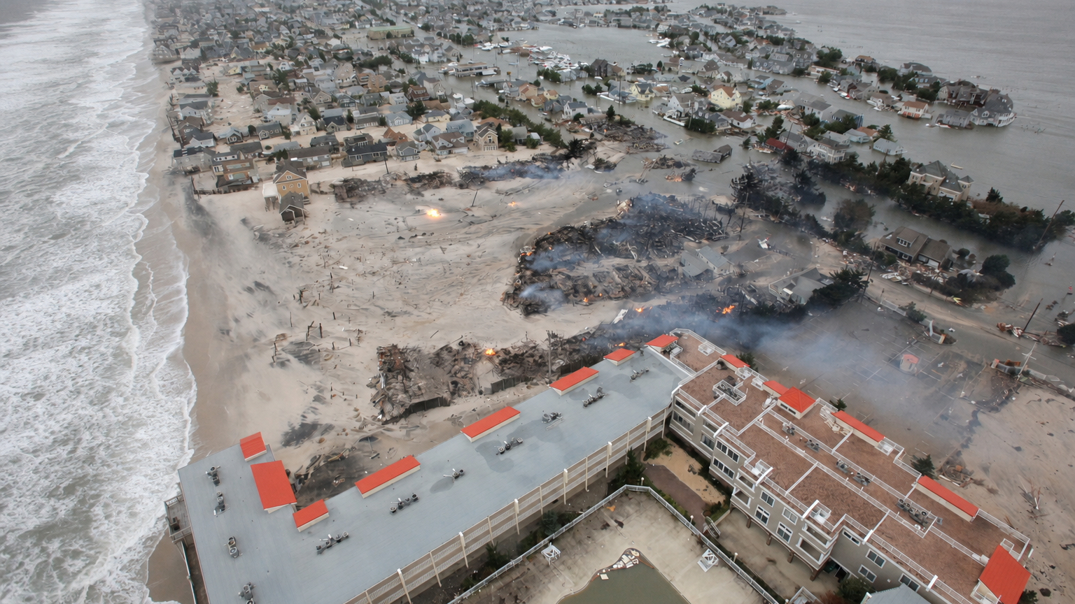
Governors in New York and New Jersey declared states of emergency ahead of the weekend storm, with New York Governor Kathy Hochul targeting multiple counties including New York City, Nassau, Suffolk and Westchester while New Jersey Governor Mikie Sherrill covered eight counties from Atlantic to Salem. The declarations activated emergency operations as the National Weather Service forecast major coastal flooding during successive high tide cycles through Sunday, compounded by a full moon that elevated tide levels. According to the Weather Prediction Center, the nor’easter was positioned about 170 miles southeast of Atlantic City on Saturday morning, driving sustained winds of 35 to 45 miles per hour with gusts exceeding 55 miles per hour in coastal areas. Reuters reported that the storm prompted the cancellation of major events including the Global Citizen Festival in Central Park and concerts by Ed Sheeran near Boston, each expected to draw tens of thousands of attendees.
The National Weather Service warned that parts of the southern Chesapeake Bay to the Jersey Shore and Raritan Bay had already reached moderate to major flood stage during Saturday morning’s high tide, with similar conditions forecast for the evening cycle. ABC News detailed how streets in New Jersey and New York flooded as the combination of storm surge and high tides created dangerous conditions, prompting voluntary evacuations in low-lying communities such as Manasquan. A CNN assessment found that more than 40 million people across the region faced impacts from the early-season storm, which has delivered waves up to 20 feet high in some locations. Hochul told reporters that winds had already produced gusts of 50 to 60 miles per hour on Long Island, with the potential for even higher tides overnight.
PowerOutage.us figures showed nearly 55,000 customers without electricity across New York, New Jersey and Pennsylvania by early Saturday, a number that grew as gusts downed trees and power lines. The New York Post reported that roughly 30,000 customers in New Jersey lost power, concentrated in Cumberland, Monmouth and Ocean counties, while another 22,000 in New York were affected primarily in Suffolk, Nassau and Queens. According to the Federal Aviation Administration, strong winds disrupted operations at the three major New York City-area airports, with Amtrak also warning of potential service interruptions across the Northeast. Officials urged residents to avoid unnecessary travel as basement flooding and urban drainage issues compounded the problems in densely populated areas.
The National Weather Service placed a slight risk of excessive rainfall over parts of southern New England, Long Island and coastal New Jersey, where 2 to 4 inches of rain could fall with locally higher amounts leading to flash flooding. FOX 5 New York noted that the most severe coastal inundation was projected along the south shore of Queens, Nassau and southwestern Suffolk counties, where water levels could reach 3.5 feet above ground in vulnerable spots. In an announcement, New Jersey officials highlighted risks of beach erosion and dangerous rip currents that made venturing near the water extremely hazardous. Hochul reinforced the message by stating that anyone entering the water over the weekend would be gambling with their life.
Preliminary data from NOAA tide gauges, as cited by Yahoo News, indicated water levels rose more than 3 feet above normal high tide at several points along the New Jersey and New York coast on Saturday morning, with the gauge at Sandy Hook, New Jersey, peaking at about 3.4 feet. The storm’s track, moving closer to the New Jersey coast Saturday night before shifting northeastward, aligned with forecasts from the Weather Prediction Center for repeated flooding episodes. Live Mint reported that communities like Sea Bright, New Jersey, prepared for up to 6 feet of flooding on some streets while converting recreation centers into potential shelters. Emergency managers in Boston and Connecticut also activated operations centers in anticipation of the system’s lingering effects into Sunday.
In remarks carried by multiple outlets, Hochul emphasized the need for residents to take the storm seriously, stay alert and avoid travel while texting a designated number for real-time updates. The combination of an intensifying nor’easter and seasonal astronomical factors created conditions not typically seen so early in the fall, according to forecasters at The Weather Channel. Ground News coverage indicated that local leaders, including the mayor of Manasquan, expected prolonged street flooding that could hinder emergency responses if residents remained in at-risk homes. As the system continues its path, authorities maintained high wind warnings and coastal flood advisories from the Delmarva Peninsula through eastern Massachusetts.