
 ع
ع


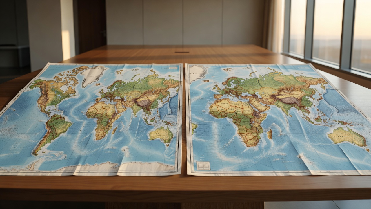
The United Nations General Assembly adopted the non-binding “Correct the Map” resolution on September 4 with 164 nations voting in favor the United States casting the sole vote against and six countries abstaining according to a Reuters dispatch from New York. Togo introduced the measure on behalf of African Union members and the Bahamas to counter what sponsors described as distortions in the centuries-old Mercator projection that has shaped global perceptions since the 16th century. The resolution encourages governments schools and international bodies to adopt equal-area maps such as the Equal Earth projection developed in 2018 while explicitly preserving the Mercator version for maritime and aviation navigation.
According to Reuters the Mercator map designed by Flemish cartographer Gerardus Mercator in 1569 enlarges land masses near the poles making Greenland appear roughly the same size as Africa even though a Reuters assessment noted Africa is about 14 times larger. CNN reporting added that the resolution highlights how such distortions minimize the perceived scale of Africa Latin America and South Asia potentially influencing views on socioeconomic needs and development potential in southern regions. The African Union had endorsed the Equal Earth map earlier in 2026 as part of its campaign to adjust cartographic representations across educational and media materials.
Togo’s Foreign Minister Robert Dussey told Reuters ahead of the vote that “A fair world begins with a fair map.” In a statement carried by NPR the African Union welcomed the outcome saying the resolution promotes equal-area maps like Equal Earth across classrooms media and international institutions to ensure the world map finally reflects Africa’s true scale weight and place in the world. Al Jazeera noted that the initiative forms part of a broader #CorrectTheMap effort that traces the visual shrinkage of Africa to colonial-era mapping practices persisting for more than 450 years.
The United States representative argued the text advanced an ideological agenda and distracted from genuine issues of international peace prosperity and good relations a position detailed in both Reuters and NPR coverage. France which co-sponsored elements of the campaign announced it would abandon the Mercator projection in its official materials in favor of more accurate representations according to CNN. The Guardian reported that the resolution recognizes lasting cognitive educational cultural geopolitical and socioeconomic effects stemming from disproportionate cartographic depictions that have reduced Africa’s perceived importance in the global imagination.
A 2018 collaboration of cartographers produced the Equal Earth projection to maintain accurate relative land areas while presenting more natural continental shapes than earlier equal-area alternatives such as the Gall-Peters map an NPR overview explained. The Globe and Mail noted that traditional maps have typically portrayed Canada and Greenland as comparable in size to the entire African continent when Africa is in reality three times larger than Canada and 14 times larger than Greenland. Supporters including the African Union anticipate the shift will influence how future generations understand geography and global significance particularly in classrooms and digital platforms.
The vote follows informal consultations held by the General Assembly in July after the African Union submitted its request in April a timeline outlined in CNN reporting. France 24 added that the resolution frames the change as an act of cognitive justice and memorial reparation without imposing legal obligations on member states. Multiple outlets including Al Jazeera confirmed the measure stops short of banning the Mercator projection but urges its phased replacement in contexts where size accuracy matters for public understanding.